


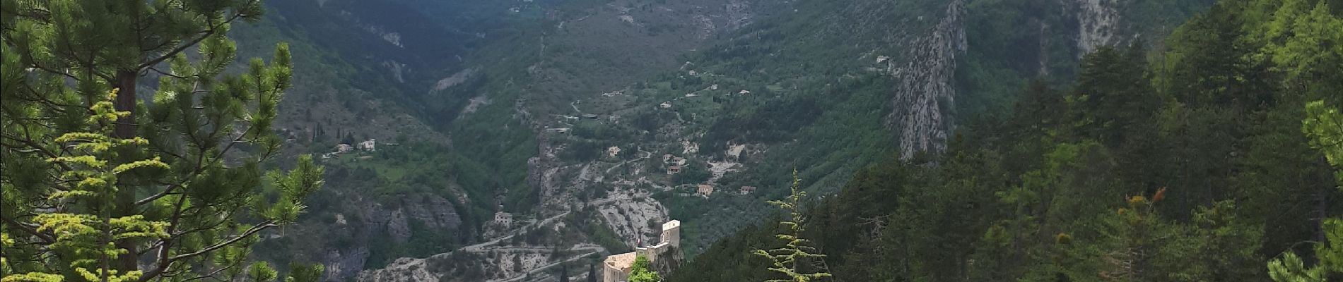
Entrevaux, les lacs

GrouGary
User
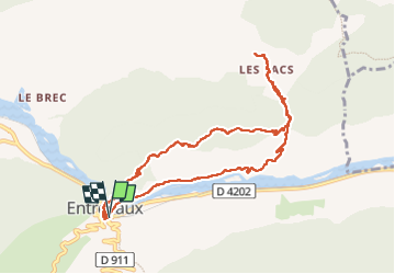


3h41
Difficulty : Easy

FREE GPS app for hiking
 SityTrail
IGN / Geographical institutes
SityTrail Plus
The world is yours!
About
Trail Walking of 11.3 km to be discovered at Provence-Alpes-Côte d'Azur, Alpes-de-Haute-Provence, Entrevaux. This trail is proposed by GrouGary.
Description
la 1ère partie le long du Var serpente entre les multiples restanques plantées d'oliviers comme de multiples jardinets d'autrefois. On observe dans le superbe ravin une nette discordance dans les strates de part et d'autre du plan de faille. Les alternances marnes calcaires en couches verticales sont superbes.
Photos


Positioning
Comments