


9.9 km | 10.5 km-effort


User


FREE GPS app for hiking
 SityTrail
IGN / Geographical institutes
SityTrail World
The world is yours!
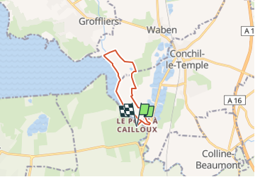
Trail Walking of 7.6 km to be discovered at Hauts-de-France, Somme, Quend. This trail is proposed by lpa0174.
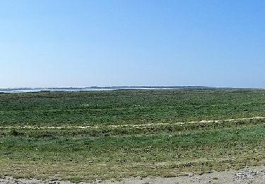
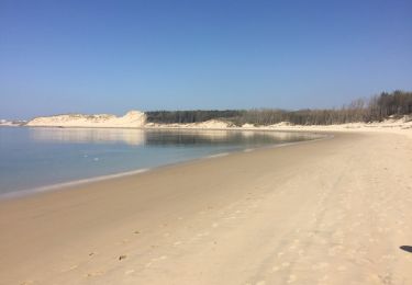
rando très agréable, la première partie jusqu’au port de la mamelon est submergée aux grande marées, tout le reste est un chemin empierre

Walking
On foot

Road bike
Walking

On foot
Walking

Walking

Walking
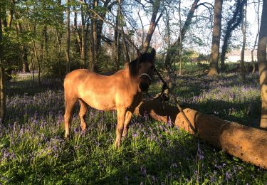
Horseback riding