


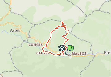

14 km | 28 km-effort

User GUIDE


FREE GPS app for hiking
 SityTrail
IGN / Geographical institutes
SityTrail World
The world is yours!
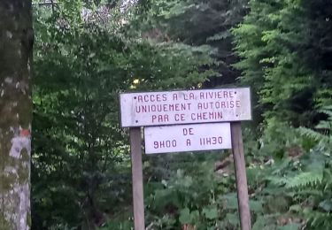
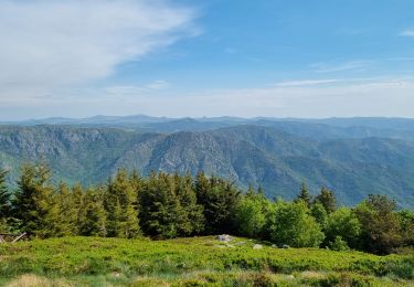
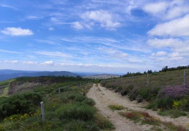
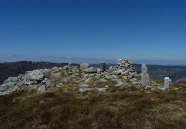
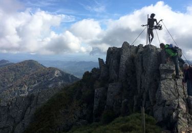
Trail Walking of 12.2 km to be discovered at Auvergne-Rhône-Alpes, Ardèche, Mayres. This trail is proposed by thonyc.
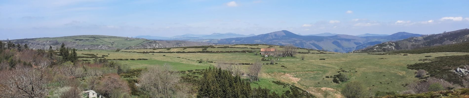
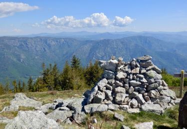
Superbe rando très sportive. Très beaux panoramas.
Forte montée et descente très raide, les bâtons sont donc fort utiles.


Walking
Walking
On foot
Walking
Walking
Walking
Walking
Walking
Walking