


Autour de saint-Lyphard

cron
User

Length
14.5 km

Max alt
21 m

Uphill gradient
85 m
Km-Effort
15.6 km

Min alt
-4 m

Downhill gradient
85 m
Boucle
Yes
Creation date :
2022-05-02 11:39:34.905
Updated on :
2022-05-20 22:12:42.719
3h32
Difficulty : Medium

FREE GPS app for hiking
 SityTrail
IGN / Geographical institutes
SityTrail Plus
The world is yours!
About
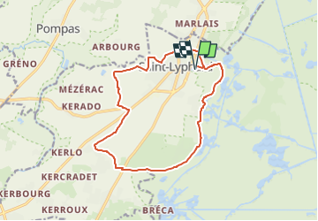
Trail Walking of 14.5 km to be discovered at Pays de la Loire, Loire-Atlantique, Saint-Lyphard. This trail is proposed by cron.
Description
départ : camping Fleur de Brière
Attention, cette randonnée n'est possible qu'en juillet et août, après un été sec, sinon des passages sont impraticables !
Positioning
Country:
France
Region :
Pays de la Loire
Department/Province :
Loire-Atlantique
Municipality :
Saint-Lyphard
Location:
Unknown
Start:(Dec)
Start:(UTM)
552899 ; 5249629 (30T) N.
Comments