


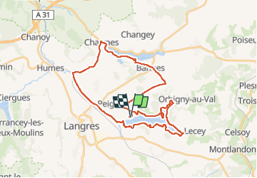


23 km | 28 km-effort

User


FREE GPS app for hiking
 SityTrail
IGN / Geographical institutes
SityTrail World
The world is yours!
Trail Hybrid bike of 36 km to be discovered at Grand Est, Haute-Marne, Peigney. This trail is proposed by Tomtom88210.
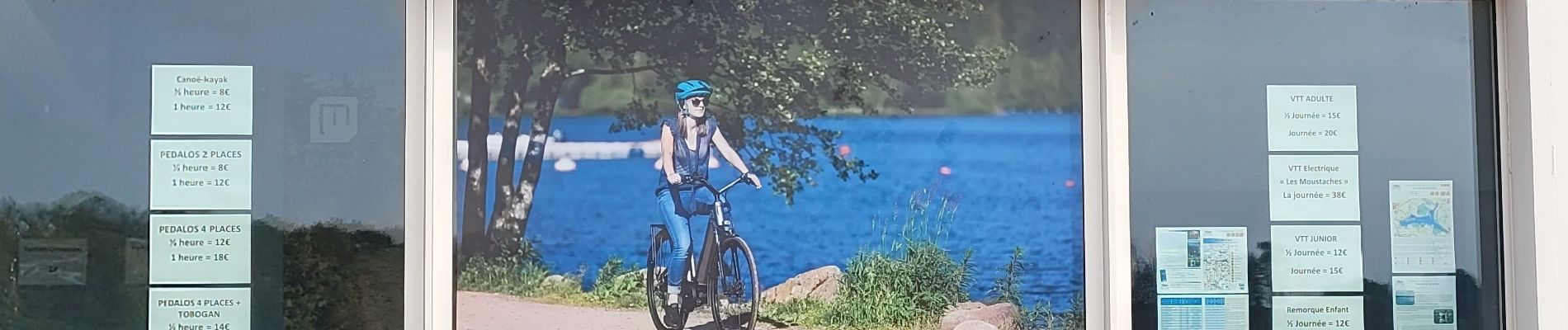
Départ et arrivée devant le magasin de location de vélos à Langres Plage


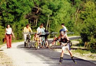
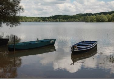
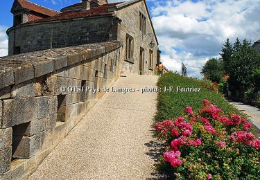
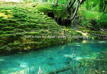
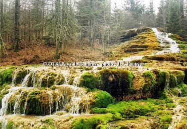
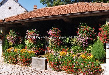
33 photos in total. Please click on a photo to see them all in the gallery.
Cycle

Mountain bike
Walking
Cycle
Cycle
Cycle

Mountain bike

Walking
Cycle