


Urbain V 3

bymarc26
User
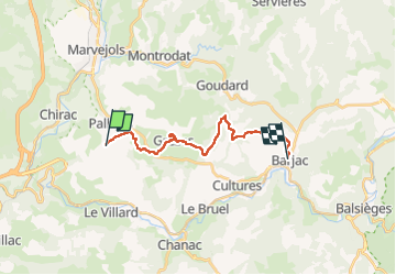

Length
17.9 km

Max alt
996 m

Uphill gradient
628 m
Km-Effort
27 km

Min alt
665 m

Downhill gradient
761 m
Boucle
No
Creation date :
2022-05-03 07:09:43.225
Updated on :
2022-05-03 13:57:19.804
4h45
Difficulty : Medium

FREE GPS app for hiking
 SityTrail
IGN / Geographical institutes
SityTrail Plus
The world is yours!
About
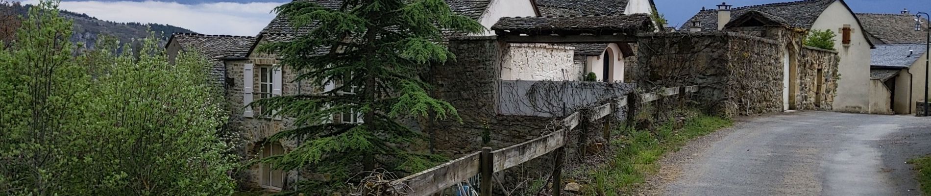
Trail Walking of 17.9 km to be discovered at Occitania, Lozère, Palhers. This trail is proposed by bymarc26.
Description
de St Bonnet de Chirac à Barjac
Photos


Positioning
Country:
France
Region :
Occitania
Department/Province :
Lozère
Municipality :
Palhers
Location:
Unknown
Start:(Dec)
Start:(UTM)
523560 ; 4928600 (31T) N.
Comments