


APT S Saturnin d Apt , sentier des Auguiers et des bornes o

RobinMicheline
User GUIDE
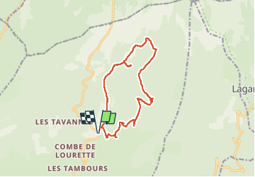

Length
15.2 km

Max alt
999 m

Uphill gradient
427 m
Km-Effort
21 km

Min alt
729 m

Downhill gradient
426 m
Boucle
Yes
Creation date :
2022-05-06 06:41:47.883
Updated on :
2022-05-08 16:31:11.774
4h00
Difficulty : Medium

FREE GPS app for hiking
 SityTrail
IGN / Geographical institutes
SityTrail Plus
The world is yours!
About
Trail Walking of 15.2 km to be discovered at Provence-Alpes-Côte d'Azur, Vaucluse, Saint-Saturnin-lès-Apt. This trail is proposed by RobinMicheline.
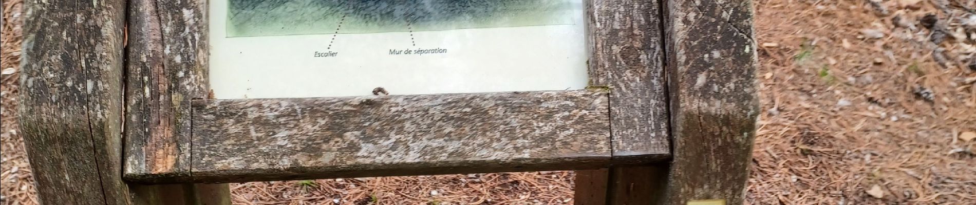
Photos


24 photos in total. Please click on a photo to see them all in the gallery.
Positioning
Country:
France
Region :
Provence-Alpes-Côte d'Azur
Department/Province :
Vaucluse
Municipality :
Saint-Saturnin-lès-Apt
Location:
Unknown
Start:(Dec)
Start:(UTM)
692082 ; 4871112 (31T) N.
Comments