


Biesse

taguette
User
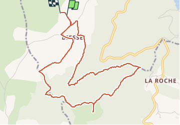

Length
6.1 km

Max alt
736 m

Uphill gradient
175 m
Km-Effort
8.4 km

Min alt
638 m

Downhill gradient
175 m
Boucle
Yes
Creation date :
2022-05-06 14:21:13.987
Updated on :
2022-05-06 15:54:15.849
1h32
Difficulty : Easy

FREE GPS app for hiking
 SityTrail
IGN / Geographical institutes
SityTrail Plus
The world is yours!
About
Trail Walking of 6.1 km to be discovered at Auvergne-Rhône-Alpes, Loire, Chambles. This trail is proposed by taguette.
Positioning
Country:
France
Region :
Auvergne-Rhône-Alpes
Department/Province :
Loire
Municipality :
Chambles
Location:
Unknown
Start:(Dec)
Start:(UTM)
595821 ; 5031882 (31T) N.
Comments