


tentanet la graye

malc
User
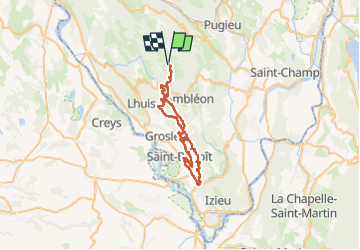

Length
48 km

Max alt
1012 m

Uphill gradient
2035 m
Km-Effort
75 km

Min alt
212 m

Downhill gradient
2035 m
Boucle
Yes
Creation date :
2022-05-08 11:58:22.546
Updated on :
2022-05-08 15:50:29.716
3h50
Difficulty : Very difficult

FREE GPS app for hiking
 SityTrail
IGN / Geographical institutes
SityTrail Plus
The world is yours!
About
Trail Mountain bike of 48 km to be discovered at Auvergne-Rhône-Alpes, Ain, Innimond. This trail is proposed by malc.
Description
en vttae
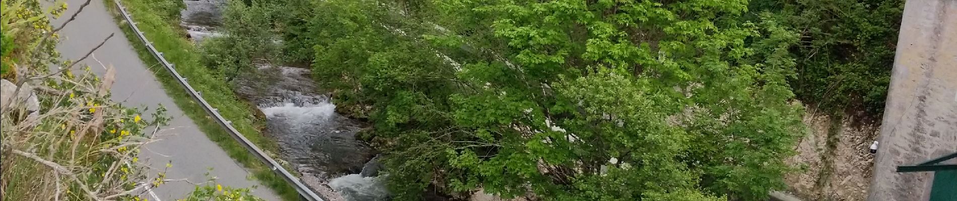
Photos


Positioning
Country:
France
Region :
Auvergne-Rhône-Alpes
Department/Province :
Ain
Municipality :
Innimond
Location:
Unknown
Start:(Dec)
Start:(UTM)
700030 ; 5073077 (31T) N.
Comments