


Berthenay - Sentier des deux Eaux - 16.3km 65m 4h00 - 2022 05 08

Orcal37
User GUIDE
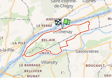

Length
16.3 km

Max alt
50 m

Uphill gradient
66 m
Km-Effort
17.2 km

Min alt
39 m

Downhill gradient
65 m
Boucle
Yes
Creation date :
2022-05-08 12:41:14.084
Updated on :
2022-05-09 17:16:26.119
4h00
Difficulty : Easy

FREE GPS app for hiking
 SityTrail
IGN / Geographical institutes
SityTrail Plus
The world is yours!
About
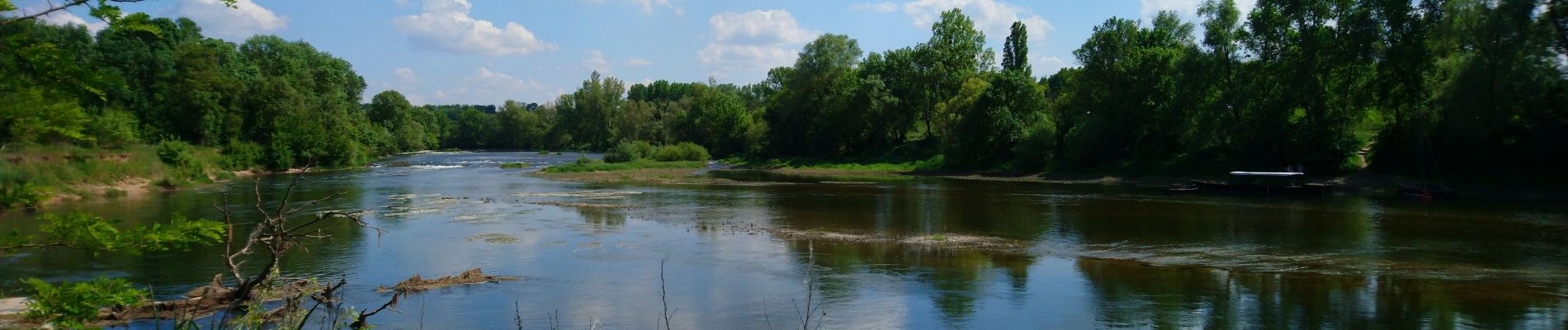
Trail Walking of 16.3 km to be discovered at Centre-Loire Valley, Indre-et-Loire, Berthenay. This trail is proposed by Orcal37.
Description
Berthenay - Sentier des deux Eaux - 16.3km 65m 4h00 - 2022 05 08
Photos


Positioning
Country:
France
Region :
Centre-Loire Valley
Department/Province :
Indre-et-Loire
Municipality :
Berthenay
Location:
Unknown
Start:(Dec)
Start:(UTM)
313160 ; 5248573 (31T) N.
Comments