


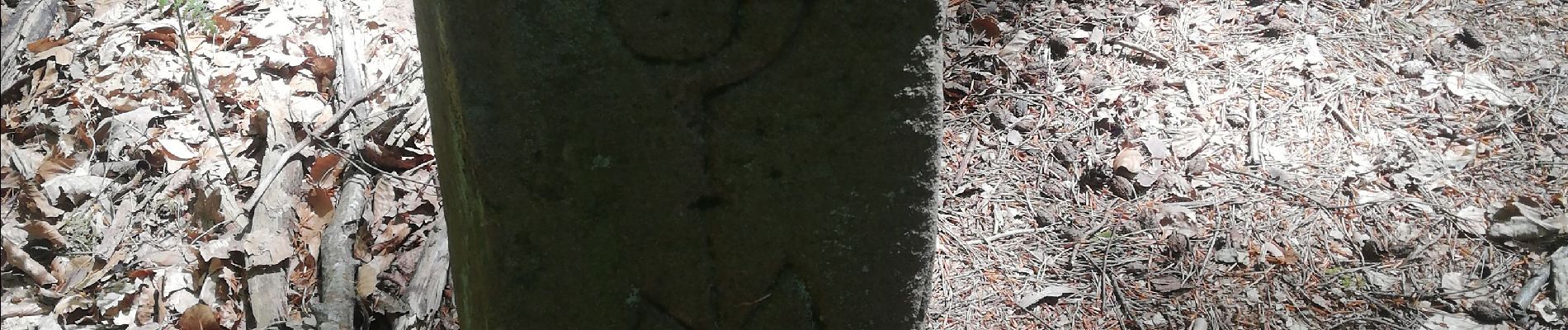
Schuetzenfelsen

apa
User
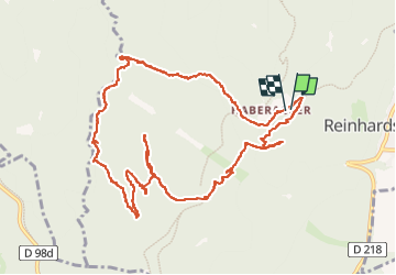

Length
12.4 km

Max alt
612 m

Uphill gradient
343 m
Km-Effort
17 km

Min alt
334 m

Downhill gradient
346 m
Boucle
Yes
Creation date :
2022-05-10 07:51:25.293
Updated on :
2022-05-10 13:30:46.495
3h21
Difficulty : Medium

FREE GPS app for hiking
 SityTrail
IGN / Geographical institutes
SityTrail Plus
The world is yours!
About
Trail Walking of 12.4 km to be discovered at Grand Est, Bas-Rhin, Reinhardsmunster. This trail is proposed by apa.
Description
Cool
Photos


Positioning
Country:
France
Region :
Grand Est
Department/Province :
Bas-Rhin
Municipality :
Reinhardsmunster
Location:
Unknown
Start:(Dec)
Start:(UTM)
374983 ; 5393075 (32U) N.
Comments