


Le Vigan Nacelles GR7

kephas
User
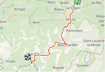

Length
25 km

Max alt
674 m

Uphill gradient
725 m
Km-Effort
34 km

Min alt
220 m

Downhill gradient
605 m
Boucle
No
Creation date :
2022-05-10 06:41:55.723
Updated on :
2022-05-10 16:57:16.472
10h09
Difficulty : Difficult

FREE GPS app for hiking
 SityTrail
IGN / Geographical institutes
SityTrail Plus
The world is yours!
About
Trail Walking of 25 km to be discovered at Occitania, Gard, Le Vigan. This trail is proposed by kephas.
Description
Chemin de St Guilhem
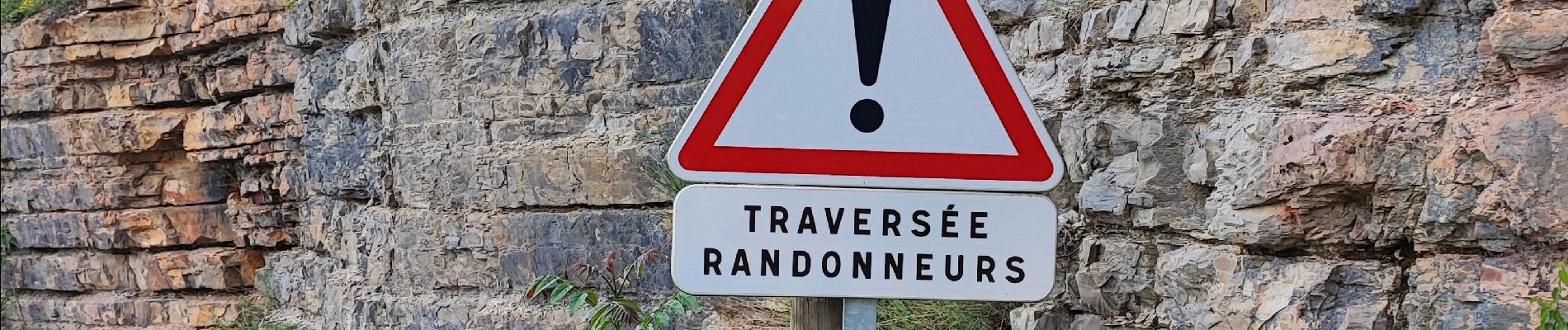
Photos


Positioning
Country:
France
Region :
Occitania
Department/Province :
Gard
Municipality :
Le Vigan
Location:
Unknown
Start:(Dec)
Start:(UTM)
548751 ; 4871015 (31T) N.
Comments