


bozouls

darranger
User
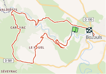

Length
14.4 km

Max alt
560 m

Uphill gradient
420 m
Km-Effort
19.7 km

Min alt
397 m

Downhill gradient
322 m
Boucle
No
Creation date :
2022-05-11 09:27:12.826
Updated on :
2022-05-11 15:35:07.995
3h44
Difficulty : Very difficult

FREE GPS app for hiking
 SityTrail
IGN / Geographical institutes
SityTrail Plus
The world is yours!
About
Trail Walking of 14.4 km to be discovered at Occitania, Aveyron, Bozouls. This trail is proposed by darranger.
Positioning
Country:
France
Region :
Occitania
Department/Province :
Aveyron
Municipality :
Bozouls
Location:
Unknown
Start:(Dec)
Start:(UTM)
476765 ; 4924114 (31T) N.
Comments