


la garde Freinet roche blanche_fort

bernir
User
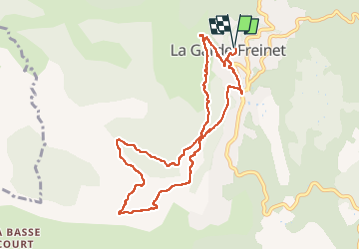

Length
10.3 km

Max alt
636 m

Uphill gradient
360 m
Km-Effort
15.1 km

Min alt
320 m

Downhill gradient
360 m
Boucle
Yes
Creation date :
2022-05-12 08:14:54.086
Updated on :
2022-05-13 11:21:11.645
5h38
Difficulty : Easy

FREE GPS app for hiking
 SityTrail
IGN / Geographical institutes
SityTrail Plus
The world is yours!
About
Trail Walking of 10.3 km to be discovered at Provence-Alpes-Côte d'Azur, Var, La Garde-Freinet. This trail is proposed by bernir.
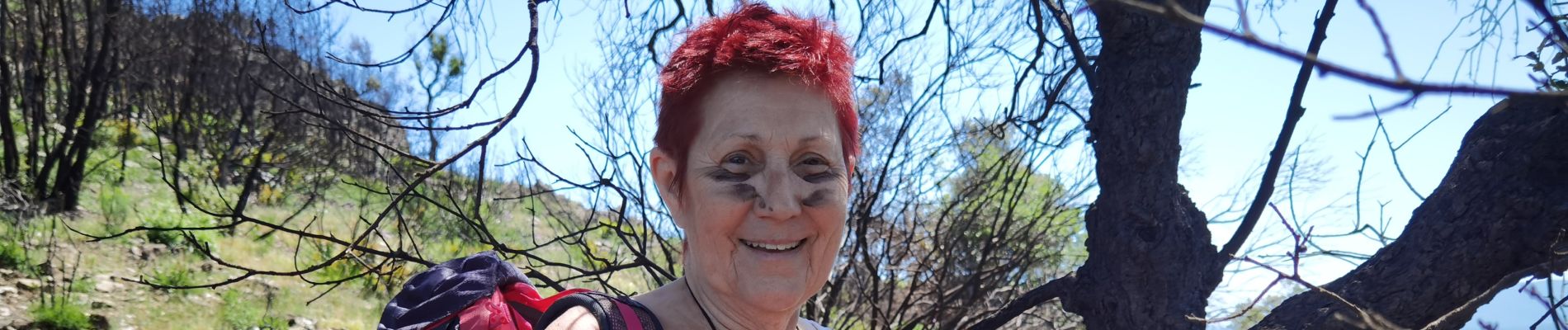
Photos


Positioning
Country:
France
Region :
Provence-Alpes-Côte d'Azur
Department/Province :
Var
Municipality :
La Garde-Freinet
Location:
Unknown
Start:(Dec)
Start:(UTM)
294846 ; 4799448 (32T) N.
Comments