


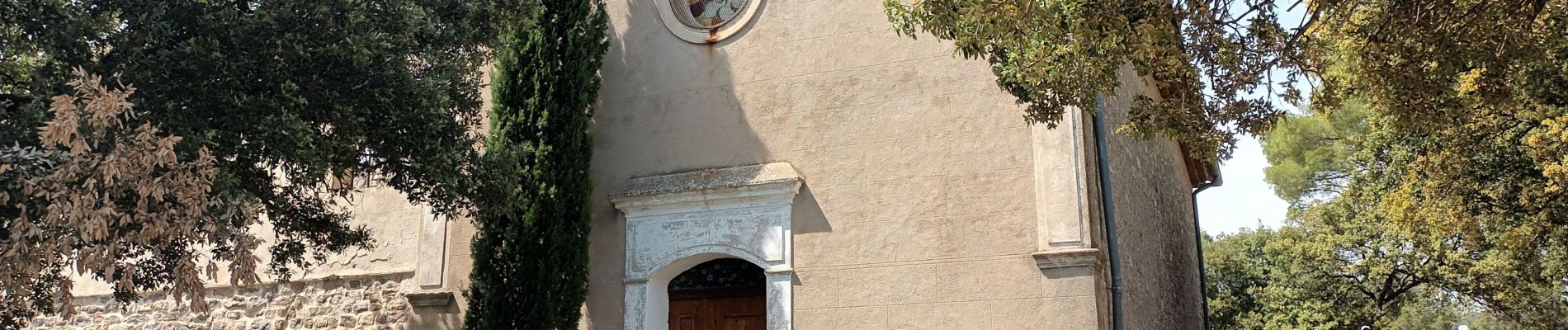
ND de la Vière-Puget ville-13-05-22

Christiancordin
User
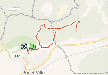

Length
8.7 km

Max alt
346 m

Uphill gradient
224 m
Km-Effort
11.7 km

Min alt
208 m

Downhill gradient
224 m
Boucle
Yes
Creation date :
2022-05-13 12:01:15.37
Updated on :
2022-05-14 16:36:04.276
2h39
Difficulty : Easy

FREE GPS app for hiking
 SityTrail
IGN / Geographical institutes
SityTrail Plus
The world is yours!
About
Trail On foot of 8.7 km to be discovered at Provence-Alpes-Côte d'Azur, Var, Puget-Ville. This trail is proposed by Christiancordin.
Description
Puget-ville-ND de la Vière.
Photos


Positioning
Country:
France
Region :
Provence-Alpes-Côte d'Azur
Department/Province :
Var
Municipality :
Puget-Ville
Location:
Unknown
Start:(Dec)
Start:(UTM)
267643 ; 4797331 (32T) N.
Comments