


Cap Nestés

mitch1952
User
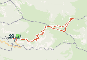

Length
12.7 km

Max alt
1865 m

Uphill gradient
940 m
Km-Effort
25 km

Min alt
1059 m

Downhill gradient
940 m
Boucle
Yes
Creation date :
2022-05-16 14:49:22.237
Updated on :
2022-05-16 14:56:34.79
5h43
Difficulty : Very difficult

FREE GPS app for hiking
 SityTrail
IGN / Geographical institutes
SityTrail Plus
The world is yours!
About
Trail Walking of 12.7 km to be discovered at Occitania, Hautespyrenees, Ardengost. This trail is proposed by mitch1952.
Positioning
Country:
France
Region :
Occitania
Department/Province :
Hautespyrenees
Municipality :
Ardengost
Location:
Unknown
Start:(Dec)
Start:(UTM)
288217 ; 4755563 (31T) N.
Comments