


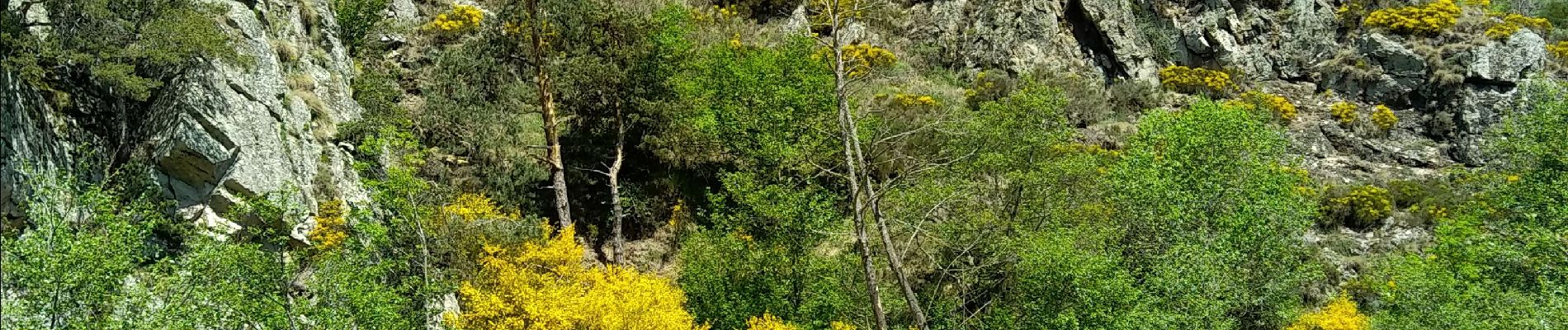
Arlempdes

taguette
User
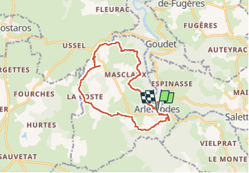

Length
15.5 km

Max alt
1097 m

Uphill gradient
487 m
Km-Effort
22 km

Min alt
791 m

Downhill gradient
488 m
Boucle
Yes
Creation date :
2022-05-17 06:54:43.294
Updated on :
2022-05-17 11:17:33.744
4h14
Difficulty : Difficult

FREE GPS app for hiking
 SityTrail
IGN / Geographical institutes
SityTrail Plus
The world is yours!
About
Trail Walking of 15.5 km to be discovered at Auvergne-Rhône-Alpes, Haute-Loire, Arlempdes. This trail is proposed by taguette.
Photos

Positioning
Country:
France
Region :
Auvergne-Rhône-Alpes
Department/Province :
Haute-Loire
Municipality :
Arlempdes
Location:
Unknown
Start:(Dec)
Start:(UTM)
572928 ; 4968306 (31T) N.
Comments