


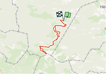

3.2 km | 5.1 km-effort

User


FREE GPS app for hiking
 SityTrail
IGN / Geographical institutes
SityTrail World
The world is yours!
Trail Walking of 16.1 km to be discovered at Occitania, Hautespyrenees, Esparros. This trail is proposed by Prala.
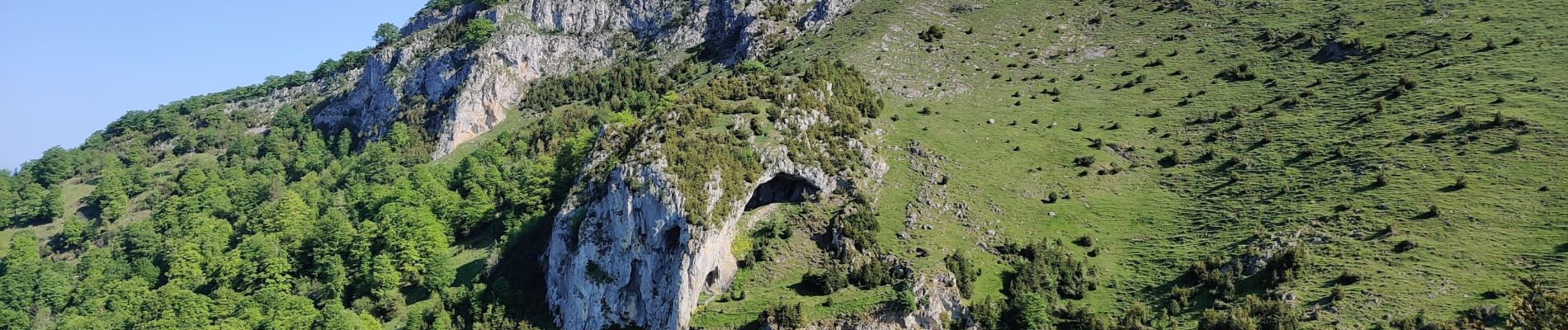
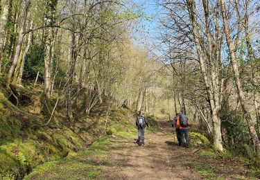
itinéraire par les 3 cols. début de l'ascension finale du Signal de Nassia avant le Puit Glacé.


Walking

Walking
Walking
Walking
Walking
Walking
Walking
Walking
Walking