


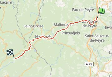
MONTGROS - ST CHELY AUBRAC

gallo
User

Length
42 km

Max alt
1368 m

Uphill gradient
824 m
Km-Effort
54 km

Min alt
814 m

Downhill gradient
1049 m
Boucle
No
Creation date :
2022-05-18 12:52:46.271
Updated on :
2022-05-18 13:01:35.73
6h41
Difficulty : Very difficult

FREE GPS app for hiking
 SityTrail
IGN / Geographical institutes
SityTrail Plus
The world is yours!
About
Trail Walking of 42 km to be discovered at Occitania, Lozère, Peyre en Aubrac. This trail is proposed by gallo.
Positioning
Country:
France
Region :
Occitania
Department/Province :
Lozère
Municipality :
Peyre en Aubrac
Location:
Aumont-Aubrac
Start:(Dec)
Start:(UTM)
522676 ; 4952201 (31T) N.
Comments