


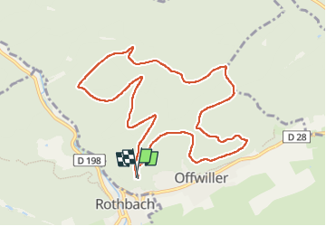
CV Offwiller ruines Frauenkirch

maureengeorges
User

Length
10.4 km

Max alt
388 m

Uphill gradient
252 m
Km-Effort
13.8 km

Min alt
278 m

Downhill gradient
252 m
Boucle
Yes
Creation date :
2022-05-19 11:53:39.047
Updated on :
2022-05-19 14:56:43.227
2h33
Difficulty : Difficult

FREE GPS app for hiking
 SityTrail
IGN / Geographical institutes
SityTrail Plus
The world is yours!
About
Trail Walking of 10.4 km to be discovered at Grand Est, Bas-Rhin, Offwiller. This trail is proposed by maureengeorges.
Positioning
Country:
France
Region :
Grand Est
Department/Province :
Bas-Rhin
Municipality :
Offwiller
Location:
Unknown
Start:(Dec)
Start:(UTM)
392373 ; 5418553 (32U) N.
Comments