


11.5 km | 13.1 km-effort


User


FREE GPS app for hiking
 SityTrail
IGN / Geographical institutes
SityTrail World
The world is yours!
Trail Walking of 5 km to be discovered at Auvergne-Rhône-Alpes, Drôme, Montoison. This trail is proposed by bob2023.
Se garer en haut de la route près de la barrière du chemin forestier.
Suivre le balisage triangle Jaune n° 160.
Raccourci possible en prenant le point rouge vers le point bleue et orange.
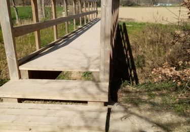
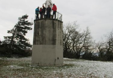
Walking
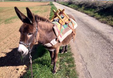
Donkey back riding

Walking
Walking
Walking
Walking

Equestrian