


La Palisse Cros de Gérorand

taguette
User


Length
17.6 km

Max alt
1303 m

Uphill gradient
500 m
Km-Effort
24 km

Min alt
1004 m

Downhill gradient
508 m
Boucle
Yes
Creation date :
2022-05-21 06:18:10.225
Updated on :
2022-05-21 10:56:27.537
4h35
Difficulty : Very difficult

FREE GPS app for hiking
 SityTrail
IGN / Geographical institutes
SityTrail Plus
The world is yours!
About
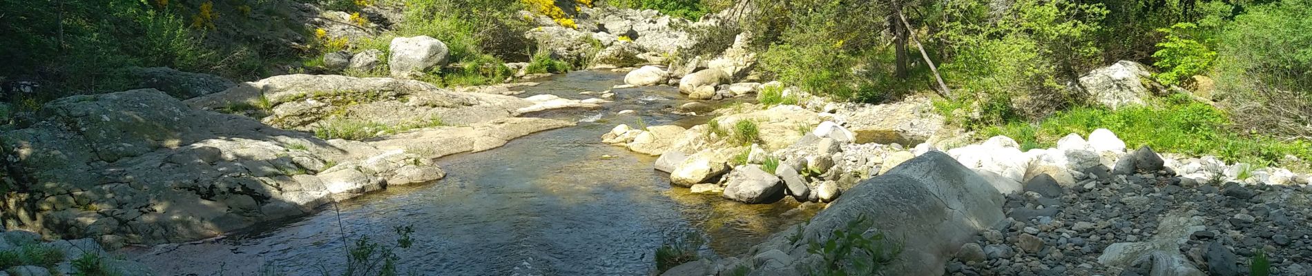
Trail Walking of 17.6 km to be discovered at Auvergne-Rhône-Alpes, Ardèche, Cros-de-Géorand. This trail is proposed by taguette.
Photos

Positioning
Country:
France
Region :
Auvergne-Rhône-Alpes
Department/Province :
Ardèche
Municipality :
Cros-de-Géorand
Location:
Unknown
Start:(Dec)
Start:(UTM)
587233 ; 4959000 (31T) N.
Comments