


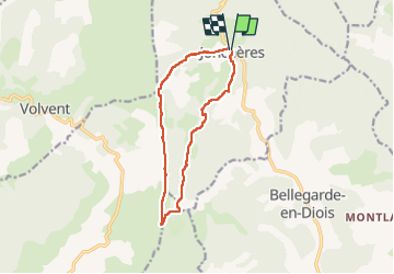

11.6 km | 18.9 km-effort


User


FREE GPS app for hiking
 SityTrail
IGN / Geographical institutes
SityTrail World
The world is yours!
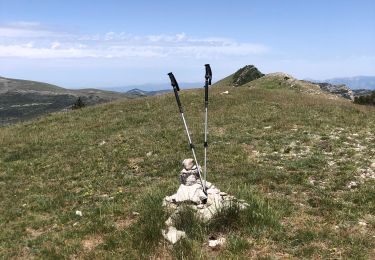
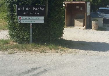
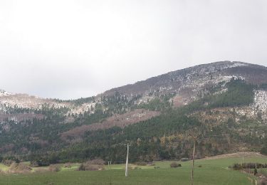
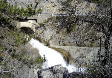
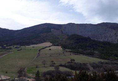
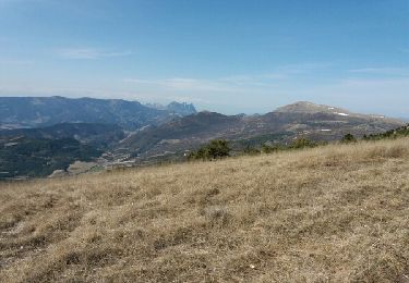
Trail On foot of 11.8 km to be discovered at Auvergne-Rhône-Alpes, Drôme, Jonchères. This trail is proposed by LydiaMich .
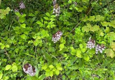
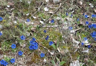
Une bien jolie balade à faire en mai à l'époque des pivoines sauvages.

sport
sport
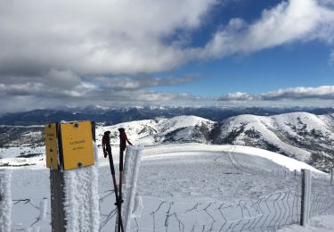
Snowshoes
Walking
Walking
Walking
Walking
Walking
Walking