


GR 10 20

chasle
User
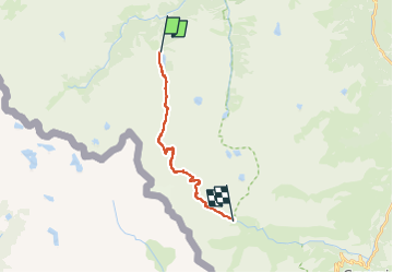

Length
15.7 km

Max alt
2744 m

Uphill gradient
1045 m
Km-Effort
29 km

Min alt
1733 m

Downhill gradient
941 m
Boucle
No
Creation date :
2022-05-23 22:30:56.827
Updated on :
2022-05-23 22:31:53.132
6h38
Difficulty : Difficult

FREE GPS app for hiking
 SityTrail
IGN / Geographical institutes
SityTrail Plus
The world is yours!
About
Trail Walking of 15.7 km to be discovered at Occitania, Hautespyrenees, Cauterets. This trail is proposed by chasle.
Positioning
Country:
France
Region :
Occitania
Department/Province :
Hautespyrenees
Municipality :
Cauterets
Location:
Unknown
Start:(Dec)
Start:(UTM)
733654 ; 4746461 (30T) N.
Comments