


Ubine Mousse Bise

reneperrin
User
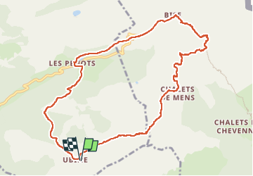

Length
11.1 km

Max alt
1856 m

Uphill gradient
683 m
Km-Effort
20 km

Min alt
1343 m

Downhill gradient
685 m
Boucle
Yes
Creation date :
2022-05-24 07:24:58.922
Updated on :
2022-05-24 12:38:35.734
4h09
Difficulty : Medium

FREE GPS app for hiking
 SityTrail
IGN / Geographical institutes
SityTrail Plus
The world is yours!
About
Trail Walking of 11.1 km to be discovered at Auvergne-Rhône-Alpes, Upper Savoy, Vacheresse. This trail is proposed by reneperrin.
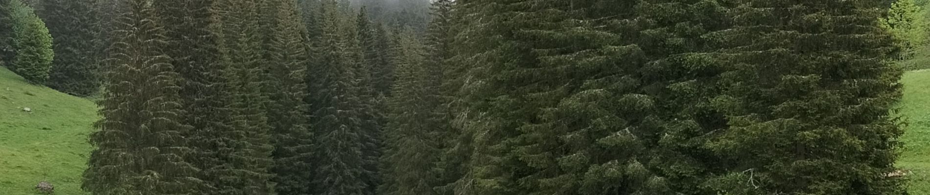
Photos


Positioning
Country:
France
Region :
Auvergne-Rhône-Alpes
Department/Province :
Upper Savoy
Municipality :
Vacheresse
Location:
Unknown
Start:(Dec)
Start:(UTM)
326254 ; 5130596 (32T) N.
Comments