


Vallon de Combeau

jphugon
User
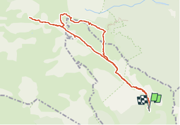

Length
11.1 km

Max alt
1878 m

Uphill gradient
474 m
Km-Effort
17.5 km

Min alt
1445 m

Downhill gradient
480 m
Boucle
Yes
Creation date :
2022-05-22 08:19:07.628
Updated on :
2022-05-25 08:12:02.233
6h24
Difficulty : Difficult

FREE GPS app for hiking
 SityTrail
IGN / Geographical institutes
SityTrail Plus
The world is yours!
About
Trail Walking of 11.1 km to be discovered at Auvergne-Rhône-Alpes, Drôme, Châtillon-en-Diois. This trail is proposed by jphugon.
Photos


26 photos in total. Please click on a photo to see them all in the gallery.
Positioning
Country:
France
Region :
Auvergne-Rhône-Alpes
Department/Province :
Drôme
Municipality :
Châtillon-en-Diois
Location:
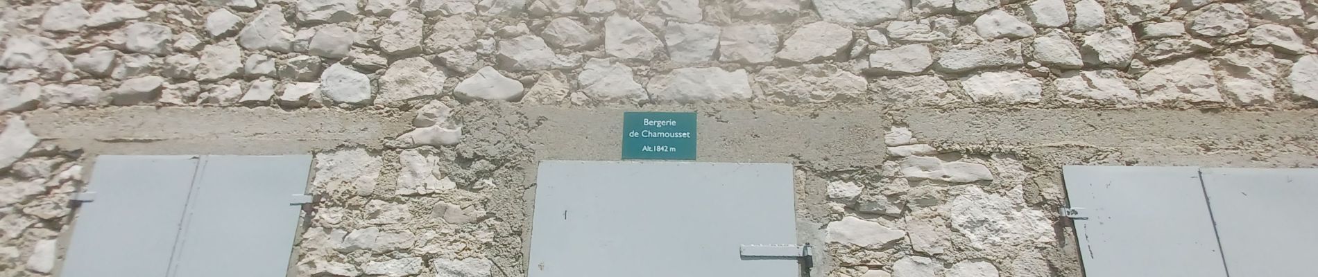
Treschenu-Creyers
Start:(Dec)
Start:(UTM)
703635 ; 4961051 (31T) N.
Comments