


alpion1

parastat
User

Length
6.3 km

Max alt
388 m

Uphill gradient
241 m
Km-Effort
9.5 km

Min alt
177 m

Downhill gradient
237 m
Boucle
Yes
Creation date :
2022-05-26 12:00:16.599
Updated on :
2022-05-26 15:41:49.504
2h00
Difficulty : Medium

FREE GPS app for hiking
 SityTrail
IGN / Geographical institutes
SityTrail Plus
The world is yours!
About
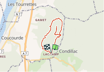
Trail Walking of 6.3 km to be discovered at Auvergne-Rhône-Alpes, Drôme, La Coucourde. This trail is proposed by parastat.
Description
IL est dommage de ne pas faire l'aller retour jusqu'au sommet, borne, point côté, pas beaucoup de vue mais le petit sentier est bien sympa.
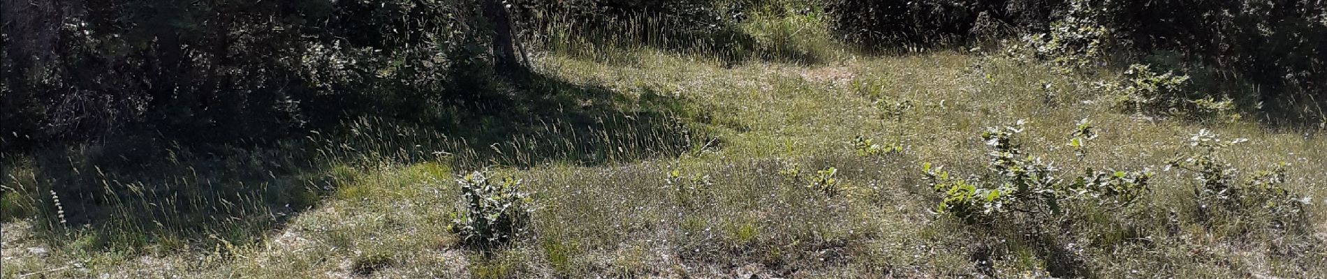
Photos


Positioning
Country:
France
Region :
Auvergne-Rhône-Alpes
Department/Province :
Drôme
Municipality :
La Coucourde
Location:
Unknown
Start:(Dec)
Start:(UTM)
643344 ; 4944662 (31T) N.
Comments