


Col de Romeyere

jphugon
User
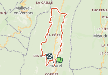

Length
16.2 km

Max alt
1335 m

Uphill gradient
679 m
Km-Effort
25 km

Min alt
800 m

Downhill gradient
683 m
Boucle
No
Creation date :
2022-05-26 07:21:44.228
Updated on :
2022-05-26 14:40:24.846
7h17
Difficulty : Medium

FREE GPS app for hiking
 SityTrail
IGN / Geographical institutes
SityTrail Plus
The world is yours!
About
Trail Walking of 16.2 km to be discovered at Auvergne-Rhône-Alpes, Isère, Rencurel. This trail is proposed by jphugon.
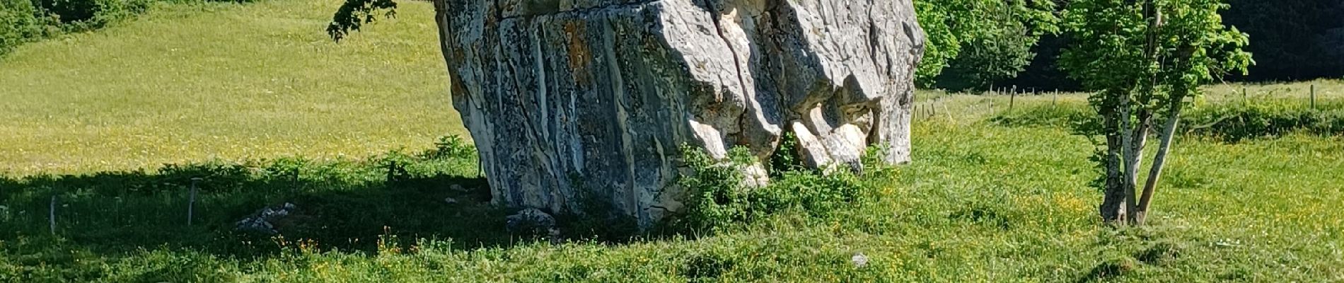
Photos

Positioning
Country:
France
Region :
Auvergne-Rhône-Alpes
Department/Province :
Isère
Municipality :
Rencurel
Location:
Unknown
Start:(Dec)
Start:(UTM)
694703 ; 4997234 (31T) N.
Comments