


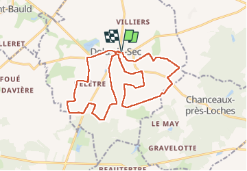

18.2 km | 21 km-effort


User


FREE GPS app for hiking
 SityTrail
IGN / Geographical institutes
SityTrail World
The world is yours!
Trail Walking of 19.8 km to be discovered at Centre-Loire Valley, Indre-et-Loire, Dolus-le-Sec. This trail is proposed by Orcal37.
Dolus-le-Sec - variante circuits des champs et de l'éolienne - 19.8km 110m 4h45 - 2022 05 26


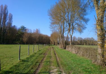
Walking

Walking

Walking

Horseback riding
Walking

Road bike
Walking
Walking