


SEYNES LES ALPES Bas et haut Chardavon , balade de la Rochette , ravin des Ganiayes , les Côtes n

RobinMicheline
User GUIDE
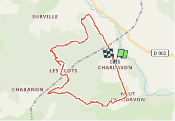

Length
10.6 km

Max alt
1609 m

Uphill gradient
539 m
Km-Effort
17.8 km

Min alt
1080 m

Downhill gradient
540 m
Boucle
Yes
Creation date :
2022-05-27 04:36:34.485
Updated on :
2022-05-28 17:38:30.445
3h10
Difficulty : Medium

FREE GPS app for hiking
 SityTrail
IGN / Geographical institutes
SityTrail Plus
The world is yours!
About
Trail Walking of 10.6 km to be discovered at Provence-Alpes-Côte d'Azur, Alpes-de-Haute-Provence, Seyne. This trail is proposed by RobinMicheline.
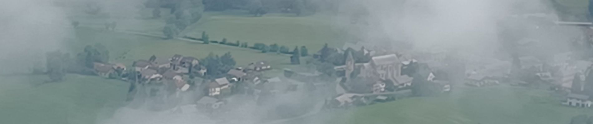
Photos


Positioning
Country:
France
Region :
Provence-Alpes-Côte d'Azur
Department/Province :
Alpes-de-Haute-Provence
Municipality :
Seyne
Location:
Unknown
Start:(Dec)
Start:(UTM)
286897 ; 4914523 (32T) N.
Comments