


Reco-siscaro-2022-05-27-ajusté

Nordic33
User GUIDE
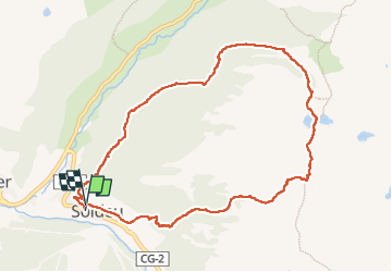

Length
10.7 km

Max alt
2568 m

Uphill gradient
765 m
Km-Effort
21 km

Min alt
1826 m

Downhill gradient
753 m
Boucle
Yes
Creation date :
2022-05-27 07:09:29.549
Updated on :
2022-06-10 10:07:10.469
5h00
Difficulty : Difficult

FREE GPS app for hiking
 SityTrail
IGN / Geographical institutes
SityTrail Plus
The world is yours!
About
Trail Walking of 10.7 km to be discovered at Andorra. This trail is proposed by Nordic33.
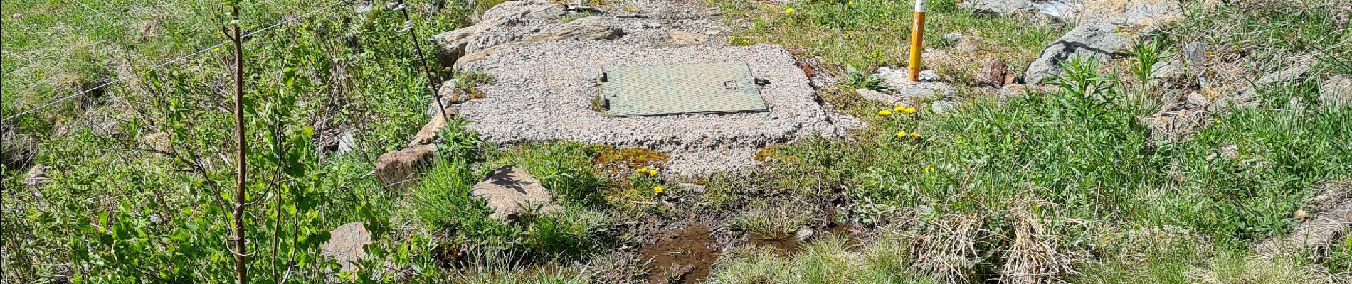
Photos


33 photos in total. Please click on a photo to see them all in the gallery.
Positioning
Country:
Andorra
Region :
Unknown
Department/Province :
Unknown
Municipality :
Unknown
Location:
Unknown
Start:(Dec)
Start:(UTM)
390570 ; 4714698 (31T) N.
Comments