


04-JUIN-19 16:11:06

ARVIEU
User

Length
16.5 km

Max alt
1010 m

Uphill gradient
745 m
Km-Effort
26 km

Min alt
463 m

Downhill gradient
739 m
Boucle
Yes
Creation date :
2022-05-30 16:48:41.972
Updated on :
2022-05-30 16:50:21.204
6h00
Difficulty : Difficult

FREE GPS app for hiking
 SityTrail
IGN / Geographical institutes
SityTrail Plus
The world is yours!
About
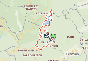
Trail Walking of 16.5 km to be discovered at Occitania, Hérault, Riols. This trail is proposed by ARVIEU.
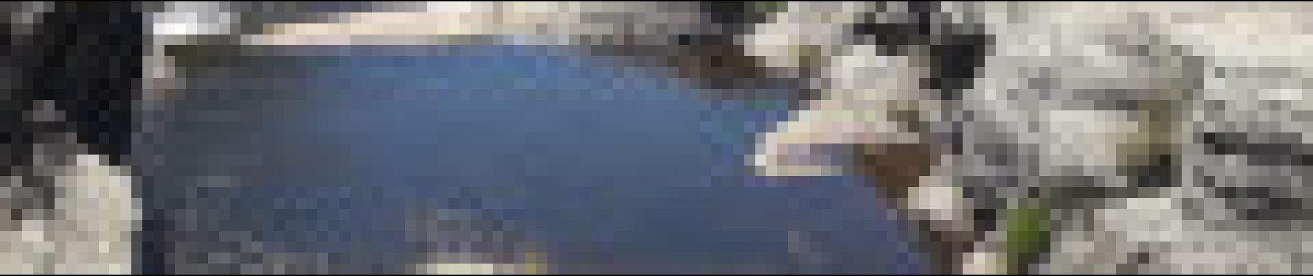
Photos

Positioning
Country:
France
Region :
Occitania
Department/Province :
Hérault
Municipality :
Riols
Location:
Unknown
Start:(Dec)
Start:(UTM)
483817 ; 4820440 (31T) N.
Comments