


Stevenson 1+2

Roger Philippe Wallez
User GUIDE
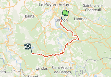

Length
38 km

Max alt
1229 m

Uphill gradient
1300 m
Km-Effort
54 km

Min alt
629 m

Downhill gradient
703 m
Boucle
No
Creation date :
2022-05-30 06:32:09.0
Updated on :
2022-05-30 17:52:07.94
10h41
Difficulty : Difficult

FREE GPS app for hiking
 SityTrail
IGN / Geographical institutes
SityTrail Plus
The world is yours!
About
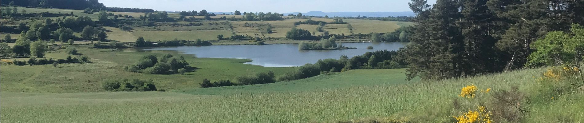
Trail Walking of 38 km to be discovered at Auvergne-Rhône-Alpes, Haute-Loire, Coubon. This trail is proposed by Roger Philippe Wallez.
Photos


Positioning
Country:
France
Region :
Auvergne-Rhône-Alpes
Department/Province :
Haute-Loire
Municipality :
Coubon
Location:
Unknown
Start:(Dec)
Start:(UTM)
572325 ; 4983046 (31T) N.
Comments