


Boucle Chimay-Baives (France)-Eppe Sauvage-Sivry-Rance-Aeroport-Lompret

jeanphi.hennebert
User
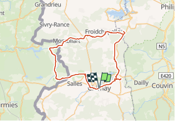

Length
55 km

Max alt
298 m

Uphill gradient
744 m
Km-Effort
65 km

Min alt
177 m

Downhill gradient
743 m
Boucle
Yes
Creation date :
2022-05-31 15:22:24.992
Updated on :
2022-05-31 15:41:34.948
4h28
Difficulty : Very difficult
0m
Difficulty : Very easy

FREE GPS app for hiking
 SityTrail
IGN / Geographical institutes
SityTrail Plus
The world is yours!
About
Trail Mountain bike of 55 km to be discovered at Wallonia, Hainaut, Chimay. This trail is proposed by jeanphi.hennebert.
Description
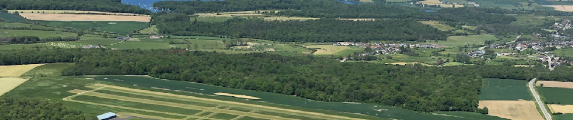
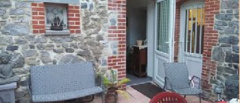
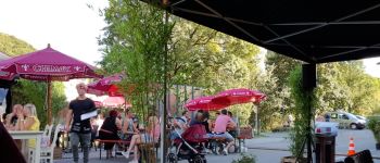
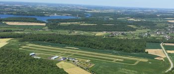
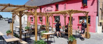
Boucle au départ de Chimay, halte resto Chez Dom et Paco, bistro à Eppe Sauvage, bistrot à Sivry, cafetariae aeroport de Cerfontaine, brasserie à Lompret, arrivée à Chimay.
Photos
-Eppe Sauvage-Sivry-Rance-Aeroport-Lompret - Photo 1")
-Eppe Sauvage-Sivry-Rance-Aeroport-Lompret - Photo 2")
-Eppe Sauvage-Sivry-Rance-Aeroport-Lompret - Photo 3")
-Eppe Sauvage-Sivry-Rance-Aeroport-Lompret - Photo 4")
-Eppe Sauvage-Sivry-Rance-Aeroport-Lompret - Photo 5")
Positioning
Country:
Belgium
Region :
Wallonia
Department/Province :
Hainaut
Municipality :
Chimay
Location:
Unknown
Start:(Dec)
Start:(UTM)
594344 ; 5544758 (31U) N.
Comments