Trail Mountain bike Erquelinnes - ors-export-linestring - Photo

ors-export-linestring

© OpenStreetMap contributors
Length
Length
38 km
Max alt
Max alt
158 m
Uphill gradient
Uphill gradient
261 m
Km-Effort
Km-Effort  
42 km
Min alt
Min alt
99 m
Downhill gradient
Downhill gradient
261 m
Boucle
Boucle
Yes
Creation date :
2022-06-01 11:04:51.341
Updated on :
2022-06-08 18:51:08.562

(1 Reviews)

Mountain bike
Mountain bike
2h50
Difficulty : Difficult

Scan this QR Code to open this trail in the SityTrail application

FREE GPS app for hiking

Logo SityTrail SityTrail

IGN / Geographical institutes

Download SityTrail from the App Store Download SityTrail from Google Play

Logo SityTrail SityTrail Plus

The world is yours!

Download SityTrail from the App Store Download SityTrail from Google Play Download SityTrail on Huawei AppGallery

About

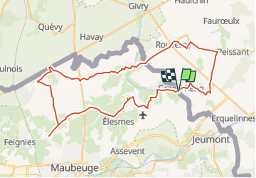
Trail Mountain bike of 38 km to be discovered at Wallonia, Hainaut, Erquelinnes. This trail is proposed by jeanphi.hennebert.

Description

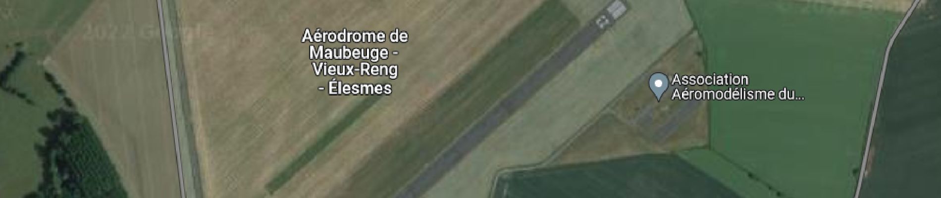
Balade en campagne avec aérodrome et Vieux forts.

Elevation profile

Photos

Points of interest

Point of interest Vieux-Reng - Brasserie de l'aérodrome de la Salmagne - Photo
jeanphi.hennebert
Point of interest Vieux-Reng - Fort de la Salmagne - Photo
jeanphi.hennebert
Point of interest Feignies - Fort Leveau - Photo
jeanphi.hennebert
FEIGNIES 
Point of interest Quévy - Le Clothaire - Photo
jeanphi.hennebert
QUÉVY 
Point of interest Gognies-Chaussée - Restaurant Le Valhalla - Photo
jeanphi.hennebert
GOGNIES-CHAUSSÉE 

Positioning

Country:
Belgium
Region :
Wallonia
Department/Province :
Hainaut
Municipality :
Erquelinnes
Location:
Unknown
Start:(UTM)
576040 ; 5575471 (31U) N.

Comments

Please log in to post a review or rate the element


Un peu trop de routes avec voitures.


Close
My subscriptions