


L’Herm Notre dame des neiges

Roger Philippe Wallez
User GUIDE

Length
34 km

Max alt
1249 m

Uphill gradient
957 m
Km-Effort
46 km

Min alt
969 m

Downhill gradient
934 m
Boucle
No
Creation date :
2022-06-01 05:51:36.0
Updated on :
2022-06-02 07:39:12.774
8h51
Difficulty : Very difficult

FREE GPS app for hiking
 SityTrail
IGN / Geographical institutes
SityTrail Plus
The world is yours!
About
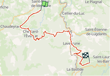
Trail Walking of 34 km to be discovered at Occitania, Lozère, Saint-Flour-de-Mercoire. This trail is proposed by Roger Philippe Wallez.
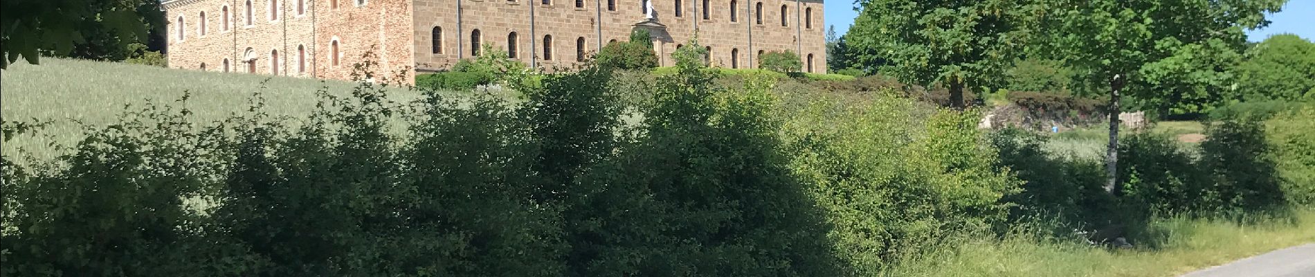
Photos


Positioning
Country:
France
Region :
Occitania
Department/Province :
Lozère
Municipality :
Saint-Flour-de-Mercoire
Location:
Unknown
Start:(Dec)
Start:(UTM)
565444 ; 4948266 (31T) N.
Comments