


Presqu'île de Giens est-03-06-22

Christiancordin
User
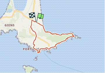

Length
7.1 km

Max alt
43 m

Uphill gradient
94 m
Km-Effort
8.3 km

Min alt
0 m

Downhill gradient
98 m
Boucle
Yes
Creation date :
2022-06-03 12:14:48.611
Updated on :
2022-06-18 17:29:50.187
2h40
Difficulty : Medium

FREE GPS app for hiking
 SityTrail
IGN / Geographical institutes
SityTrail Plus
The world is yours!
About
Trail Walking of 7.1 km to be discovered at Provence-Alpes-Côte d'Azur, Var, Hyères. This trail is proposed by Christiancordin.
Description
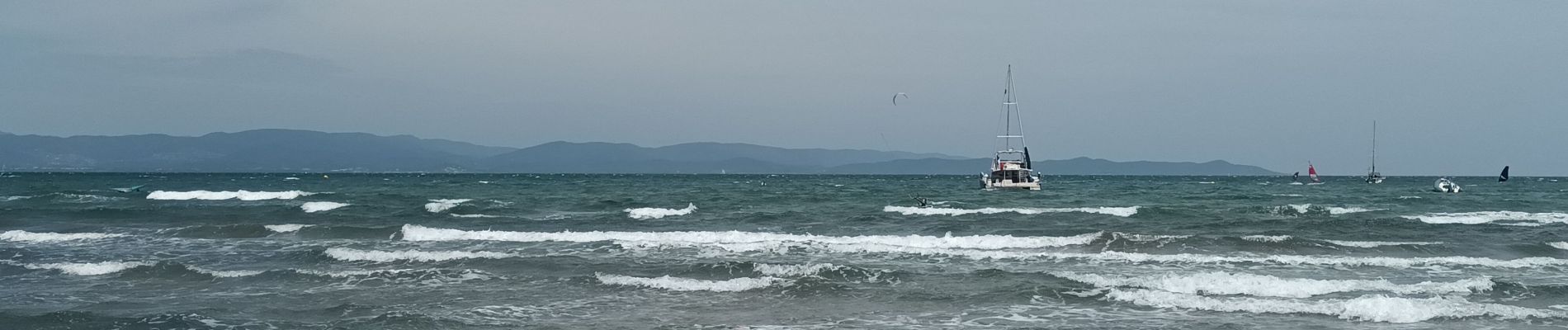
plage de la Baume-pointe de la Badine-cap de l'Estérel-écueil de gabian-pointe du Bouvet-la Tour Fondue-plage du Pradeau-île du petit Ribaud-port Augier-la Badine
Photos


Positioning
Country:
France
Region :
Provence-Alpes-Côte d'Azur
Department/Province :
Var
Municipality :
Hyères
Location:
Unknown
Start:(Dec)
Start:(UTM)
267680 ; 4769134 (32T) N.
Comments