


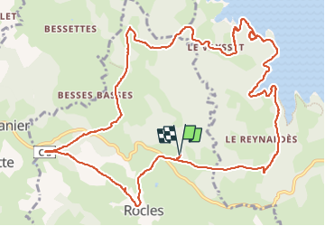

7.9 km | 10.2 km-effort

User


FREE GPS app for hiking
 SityTrail
IGN / Geographical institutes
SityTrail World
The world is yours!
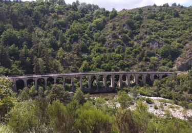
Trail Running of 14.8 km to be discovered at Occitania, Lozère, Rocles. This trail is proposed by nadd73.
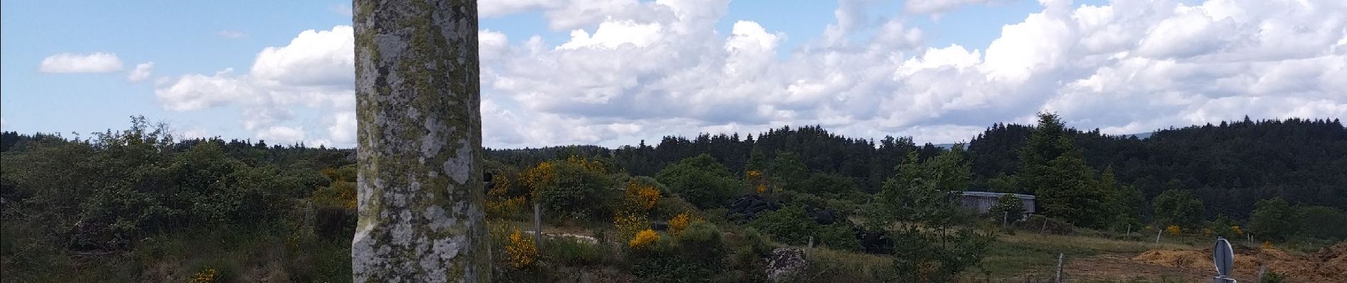
il faut parfois chercher son chemin, et attention genets et buissons sont très présents et quelques griffures.
je me suis même baignée ! Donc le temps est hors pauses.


Walking
Mountain bike

Horseback riding
Walking
Road bike
Walking

Road bike
Road bike

Road bike