Trail Walking Saint-Montan - Saint Montan - Photo
 cousam
cousam

User

© OpenStreetMap contributors
Length
Length
13.4 km
Max alt
Max alt
344 m
Uphill gradient
Uphill gradient
433 m
Km-Effort
Km-Effort  
19.1 km
Min alt
Min alt
96 m
Downhill gradient
Downhill gradient
430 m
Boucle
Boucle
No
Creation date :
2022-06-09 06:25:28.297
Updated on :
2022-06-10 07:11:58.551

(0 Reviews)

Walking
Walking
5h28
Difficulty : Medium

Scan this QR Code to open this trail in the SityTrail application

FREE GPS app for hiking

Logo SityTrail SityTrail

IGN / Geographical institutes

Download SityTrail from the App Store Download SityTrail from Google Play

Logo SityTrail SityTrail Plus

The world is yours!

Download SityTrail from the App Store Download SityTrail from Google Play Download SityTrail on Huawei AppGallery

About

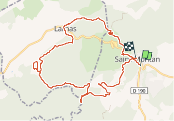
Trail Walking of 13.4 km to be discovered at Auvergne-Rhône-Alpes, Ardèche, Saint-Montan. This trail is proposed by cousam.

Description

Rando sympa avec un AR dans les gorges du Rimouren assez chaotique.
Le ruisseau d' Imbours d'ou coule en saison plusieurs cascades
(A faire au printemps)
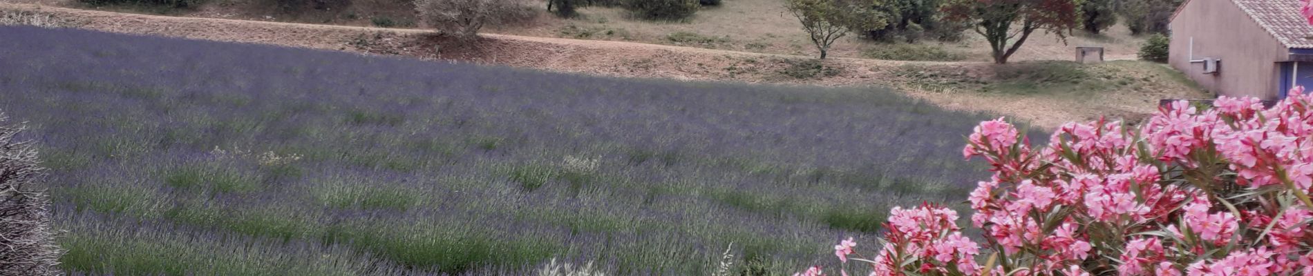
Elevation profile

Photos

22 photos in total. Please click on a photo to see them all in the gallery.

Positioning

Country:
France
Region :
Auvergne-Rhône-Alpes
Department/Province :
Ardèche
Municipality :
Saint-Montan
Location:
Unknown
Start:(UTM)
629345 ; 4921875 (31T) N.


Close
My subscriptions