


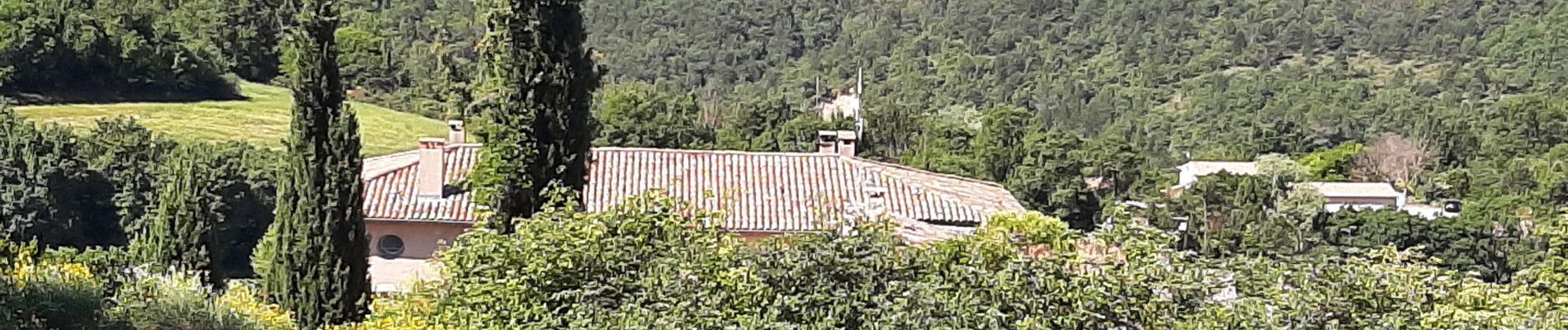
de Saint Martin les eaux à biabaux . la chapelle de hurage

Roger
User
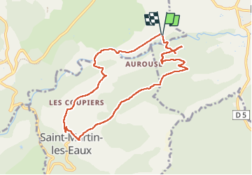

Length
9.4 km

Max alt
636 m

Uphill gradient
276 m
Km-Effort
13.1 km

Min alt
395 m

Downhill gradient
274 m
Boucle
Yes
Creation date :
2022-06-11 06:46:54.069
Updated on :
2022-06-11 09:44:00.864
2h51
Difficulty : Easy

FREE GPS app for hiking
 SityTrail
IGN / Geographical institutes
SityTrail Plus
The world is yours!
About
Trail Walking of 9.4 km to be discovered at Provence-Alpes-Côte d'Azur, Alpes-de-Haute-Provence, Saint-Michel-l'Observatoire. This trail is proposed by Roger .
Description
attention il ya un gué à biabaux
Photos


Positioning
Country:
France
Region :
Provence-Alpes-Côte d'Azur
Department/Province :
Alpes-de-Haute-Provence
Municipality :
Saint-Michel-l'Observatoire
Location:
Unknown
Start:(Dec)
Start:(UTM)
721399 ; 4863729 (31T) N.
Comments