Trail Walking Sainte-Hélène - Sainte Hélène  - Photo
© OpenStreetMap contributors
Length
Length
21 km
Max alt
Max alt
486 m
Uphill gradient
Uphill gradient
567 m
Km-Effort
Km-Effort  
28 km
Min alt
Min alt
235 m
Downhill gradient
Downhill gradient
566 m
Boucle
Boucle
Yes
Creation date :
2022-06-12 05:56:36.305
Updated on :
2022-06-12 10:47:26.443

(0 Reviews)

Walking
Walking
4h16
Difficulty : Difficult

Scan this QR Code to open this trail in the SityTrail application

FREE GPS app for hiking

Logo SityTrail SityTrail

IGN / Geographical institutes

Download SityTrail from the App Store Download SityTrail from Google Play

Logo SityTrail SityTrail World

The world is yours!

Download SityTrail from the App Store Download SityTrail from Google Play Download SityTrail on Huawei AppGallery

About

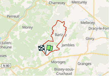
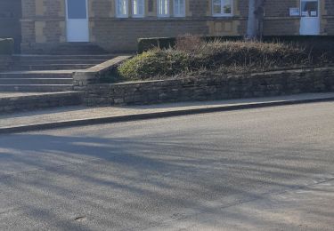
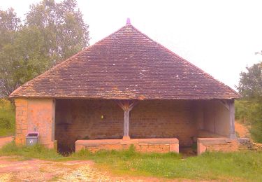
Trail Walking of 21 km to be discovered at Bourgogne-Franche-Comté, Saône-et-Loire, Sainte-Hélène. This trail is proposed by pensionisten71.

Description

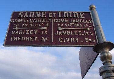
tracé des Guye bolles
la Guye la rivière qui prend sa source au niveau du lavoir(prononcer gui)
guibolles jambes en patois
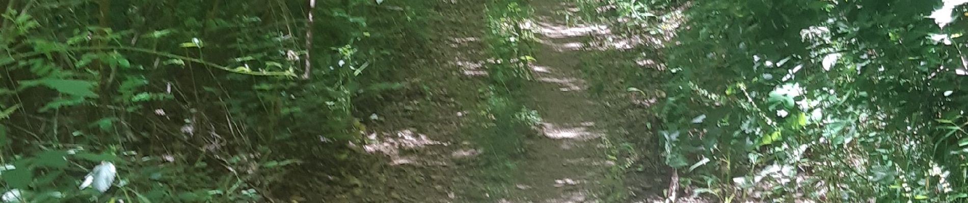
Elevation profile

Photos

Positioning

Country:
France
Region :
Bourgogne-Franche-Comté
Department/Province :
Saône-et-Loire
Municipality :
Sainte-Hélène
Location:
Unknown
Start:(UTM)
625435 ; 5179537 (31T) N.

Trails nearby

Trail Walking Bissey-sous-Cruchaud - Bissey sous Cruchaud 09/2023 Grs - Photo
Walking
Malice0093

Walking

Medium
(2)
Bissey-sous-Cruchaud, Bourgogne-Franche-Comté, Saône-et-Loire, France
7.6 km | 10.2 km-effort
2h 18min
Yes
Trail On foot Givry - Jambles d'un Versant - Photo
On foot
PRO

On foot

Easy
Givry, Bourgogne-Franche-Comté, Saône-et-Loire, France
7.3 km | 9.1 km-effort
2h 4min
No
Trail Walking Châtel-Moron - Chatel Moron - Photo
Walking
PapyChalon

Walking

Easy
(1)
Châtel-Moron, Bourgogne-Franche-Comté, Saône-et-Loire, France
9 km | 12.3 km-effort
Unknown
Yes
Trail Walking Barizey - Barizey la vallée des Vaux (houx)page 35 - Photo
Walking
grasgilbert

Walking

Medium
Barizey, Bourgogne-Franche-Comté, Saône-et-Loire, France
12.1 km | 16.2 km-effort
4h 16min
Yes
Trail Walking Sainte-Hélène - Sainte Hélène  - Photo
Walking
pensionisten71

Walking

Medium
Sainte-Hélène, Bourgogne-Franche-Comté, Saône-et-Loire, France
14.6 km | 20 km-effort
2h 53min
No
Trail Walking Moroges - Moroges - Photo
Walking
pensionisten71

Walking

Very easy
Moroges, Bourgogne-Franche-Comté, Saône-et-Loire, France
6 km | 8.7 km-effort
1h 43min
Yes
Trail On foot Rosey - Les 4 Lavoirs - Photo
On foot
PRO

On foot

Easy
Rosey, Bourgogne-Franche-Comté, Saône-et-Loire, France
6.6 km | 8.5 km-effort
1h 55min
No
Trail Walking Villeneuve-en-Montagne - Chapelle de Villard  boucle en 8 - Photo
Walking
pensionisten71

Walking

Medium
Villeneuve-en-Montagne, Bourgogne-Franche-Comté, Saône-et-Loire, France
16 km | 21 km-effort
3h 54min
Yes
Trail Walking Jambles - Jambles Le Mont Avril page 41 - Photo
Walking
grasgilbert

Walking

Difficult
(4)
Jambles, Bourgogne-Franche-Comté, Saône-et-Loire, France
11 km | 15.3 km-effort
3h 29min
Yes


Close
My subscriptions