


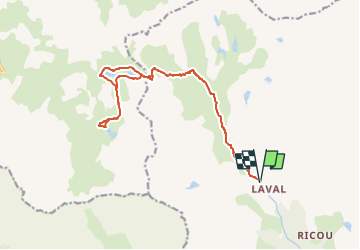
Lac des Cerces via Laval

geoffrayLayeux
User

Length
17.9 km

Max alt
2583 m

Uphill gradient
762 m
Km-Effort
28 km

Min alt
2021 m

Downhill gradient
762 m
Boucle
Yes
Creation date :
2022-06-12 20:10:33.91
Updated on :
2022-06-12 20:12:13.706
6h23
Difficulty : Very difficult

FREE GPS app for hiking
 SityTrail
IGN / Geographical institutes
SityTrail Plus
The world is yours!
About
Trail Walking of 17.9 km to be discovered at Provence-Alpes-Côte d'Azur, Hautes-Alpes, Névache. This trail is proposed by geoffrayLayeux.
Positioning
Country:
France
Region :
Provence-Alpes-Côte d'Azur
Department/Province :
Hautes-Alpes
Municipality :
Névache
Location:
Unknown
Start:(Dec)
Start:(UTM)
305171 ; 4992528 (32T) N.
Comments