


Ranc de Banes-Ganges-13-06-22

Christiancordin
User
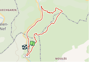

Length
10.3 km

Max alt
672 m

Uphill gradient
567 m
Km-Effort
17.8 km

Min alt
167 m

Downhill gradient
567 m
Boucle
Yes
Creation date :
2022-06-13 09:22:56.72
Updated on :
2022-06-18 16:29:40.538
2h54
Difficulty : Medium

FREE GPS app for hiking
 SityTrail
IGN / Geographical institutes
SityTrail Plus
The world is yours!
About
Trail Walking of 10.3 km to be discovered at Occitania, Hérault, Ganges. This trail is proposed by Christiancordin.
Description
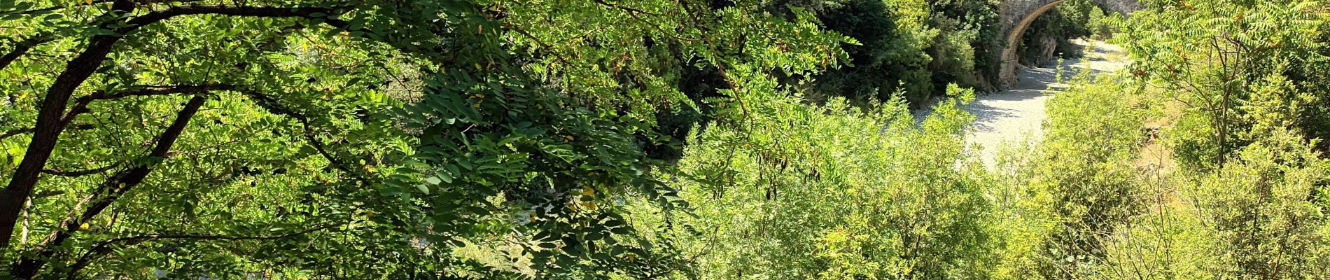
PK D4 direction Sumène-pont de chèvres-baume Clauside-grotte de la mâchoire-col du Ranc de Banes-pas de madame-pas du loup-trou du noyer-voie verte (ancienne voie ferrée).
Photos


Positioning
Country:
France
Region :
Occitania
Department/Province :
Hérault
Municipality :
Ganges
Location:
Unknown
Start:(Dec)
Start:(UTM)
556960 ; 4866991 (31T) N.
Comments