


4000 marches-14-06-22

Christiancordin
User


Length
30 km

Max alt
1557 m

Uphill gradient
1468 m
Km-Effort
50 km

Min alt
348 m

Downhill gradient
1471 m
Boucle
Yes
Creation date :
2022-06-14 06:15:05.814
Updated on :
2022-06-18 17:03:01.06
7h47
Difficulty : Very difficult

FREE GPS app for hiking
 SityTrail
IGN / Geographical institutes
SityTrail Plus
The world is yours!
About
Trail Walking of 30 km to be discovered at Occitania, Gard, Val-d'Aigoual. This trail is proposed by Christiancordin.
Description
Valleraugue-sentier des 4000 marches-col du Safrau- mont Aigoual-sentier de L'Aigoual-maison forestière d'Aire de Côte-col du pas au col de traverse-GR 62-Figayrole-moulin de la Bessède-combe chaude.
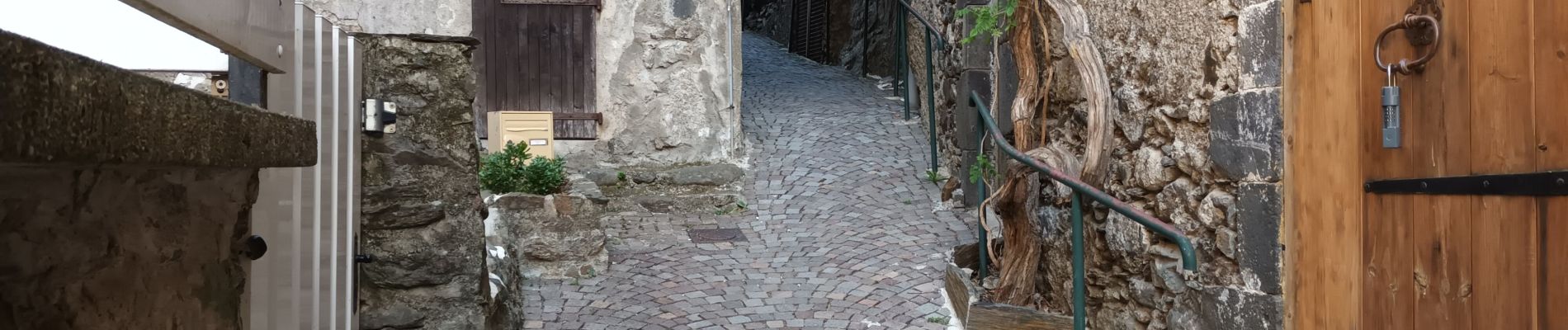
Photos


Positioning
Country:
France
Region :
Occitania
Department/Province :
Gard
Municipality :
Val-d'Aigoual
Location:
Valleraugue
Start:(Dec)
Start:(UTM)
551435 ; 4881076 (31T) N.
Comments