


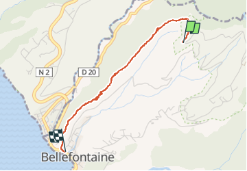

6.5 km | 10.3 km-effort

User GUIDE


FREE GPS app for hiking
 SityTrail
IGN / Geographical institutes
SityTrail World
The world is yours!
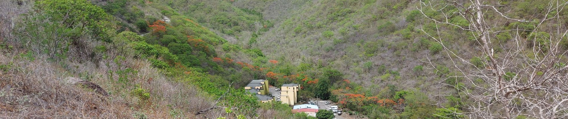
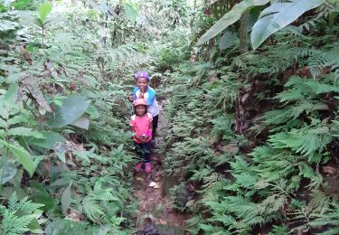
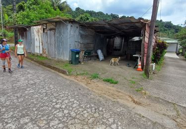
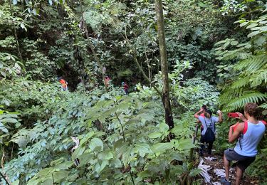
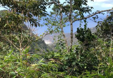
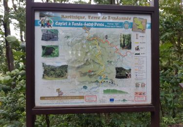
Trail Walking of 4.3 km to be discovered at Martinique, Unknown, Bellefontaine. This trail is proposed by Lamartiniere.
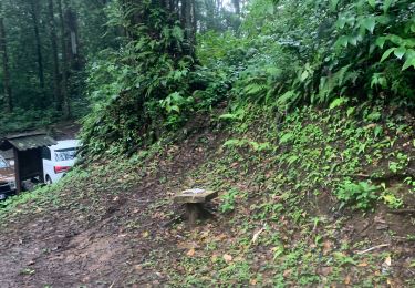
Contrôle et nettoyage de la Trace de Morne Poyain


Walking
Walking
Walking
Walking
Walking
Walking
Walking
Walking
Walking