


6.8 km | 8.1 km-effort


User


FREE GPS app for hiking
 SityTrail
IGN / Geographical institutes
SityTrail World
The world is yours!
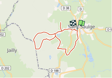
Trail Walking of 7.2 km to be discovered at Bourgogne-Franche-Comté, Nièvre, Saint-Saulge. This trail is proposed by FouargePatrick.
Départ place de la mairie.
Passer devant le lavoir et monter par le chemin.
A voir :
Le Menhir du Bourras ,
Le croc du Merle ,
Pierre du Sacrifice ,
La chaise à monsieur.

Running

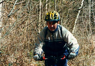
Mountain bike
Walking

Walking

Mountain bike