


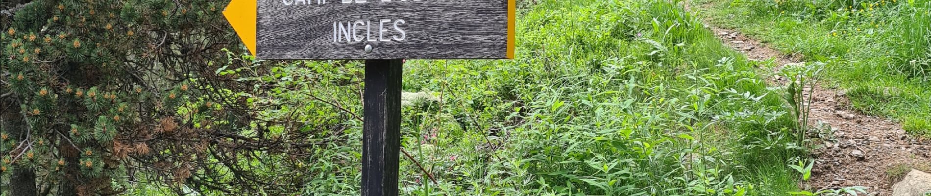
incles

Nordic33
User GUIDE
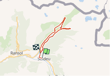

Length
12.5 km

Max alt
2037 m

Uphill gradient
462 m
Km-Effort
18.8 km

Min alt
1755 m

Downhill gradient
503 m
Boucle
No
Creation date :
2022-06-17 06:49:41.556
Updated on :
2022-07-17 10:23:15.352
5h58
Difficulty : Difficult

FREE GPS app for hiking
 SityTrail
IGN / Geographical institutes
SityTrail Plus
The world is yours!
About
Trail Walking of 12.5 km to be discovered at Andorra. This trail is proposed by Nordic33.
Photos


Positioning
Country:
Andorra
Region :
Unknown
Department/Province :
Unknown
Municipality :
Unknown
Location:
Unknown
Start:(Dec)
Start:(UTM)
390551 ; 4714731 (31T) N.
Comments