


CR_Francigena_CL_35_Lucques_Altopascio_20220619

patrickdanilo
User
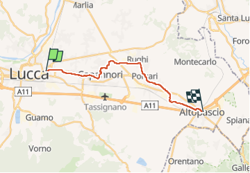

Length
17.3 km

Max alt
27 m

Uphill gradient
106 m
Km-Effort
18.7 km

Min alt
10 m

Downhill gradient
103 m
Boucle
No
Creation date :
2022-06-19 03:59:05.518
Updated on :
2022-08-01 06:26:06.607
4h24
Difficulty : Very easy

FREE GPS app for hiking
 SityTrail
IGN / Geographical institutes
SityTrail Plus
The world is yours!
About
Trail Walking of 17.3 km to be discovered at Tuscany, Lucca, Lucca. This trail is proposed by patrickdanilo.
Description
Randonnée Marche de 17,3 km à découvrir à Toscane, Lucca, Lucques. Cette randonnée est proposée par patrickdanilo.
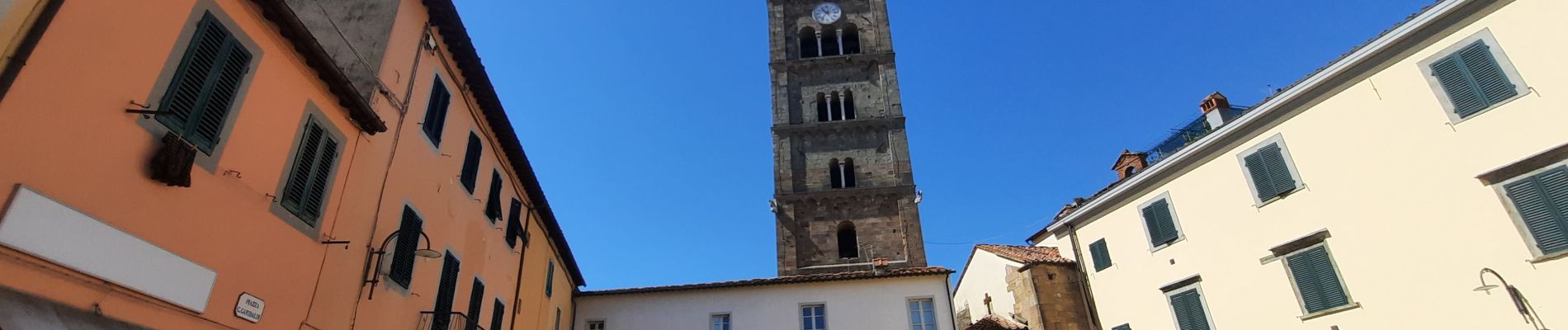
Photos


Positioning
Country:
Italy
Region :
Tuscany
Department/Province :
Lucca
Municipality :
Lucca
Location:
Unknown
Start:(Dec)
Start:(UTM)
622195 ; 4855686 (32T) N.
Comments