


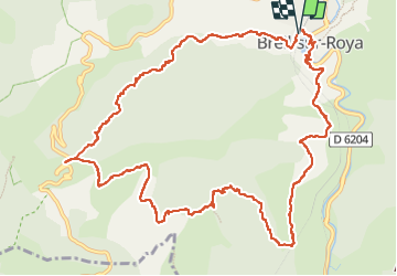

14.5 km | 26 km-effort

User


FREE GPS app for hiking
 SityTrail
IGN / Geographical institutes
SityTrail World
The world is yours!
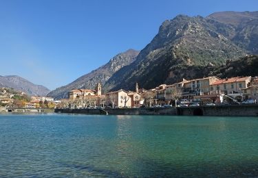
Trail Walking of 15 km to be discovered at Provence-Alpes-Côte d'Azur, Maritime Alps, Breil-sur-Roya. This trail is proposed by ged94.
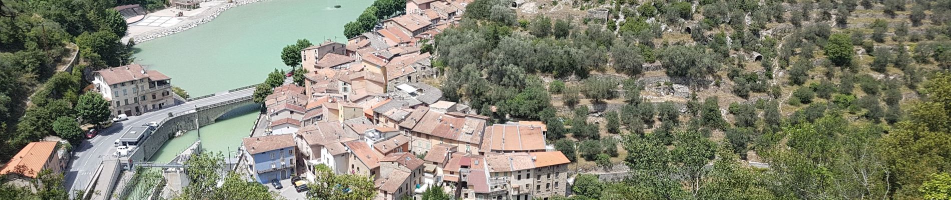
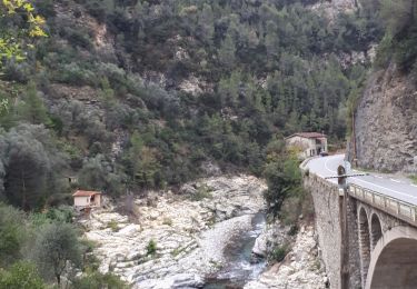
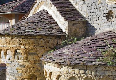
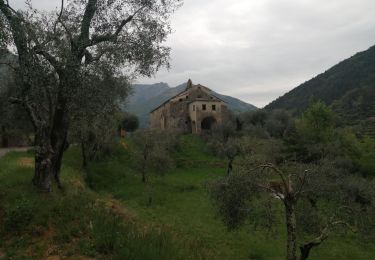
Eau potable à la fontaine du col (juin 22) pour faire la jonction entre les 2 GR, ne pas rater le sentier (3eme photo) rapidement bien visible.


On foot
On foot
On foot
On foot

On foot
Walking
On foot
Walking
Walking