


la Granges aux Bois complément

VANDERPUTTENMi
User GUIDE
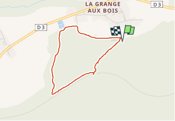

Length
3.2 km

Max alt
209 m

Uphill gradient
56 m
Km-Effort
3.9 km

Min alt
154 m

Downhill gradient
56 m
Boucle
Yes
Creation date :
2022-06-22 12:35:34.093
Updated on :
2022-06-25 18:07:58.569
50m
Difficulty : Easy

FREE GPS app for hiking
 SityTrail
IGN / Geographical institutes
SityTrail Plus
The world is yours!
About
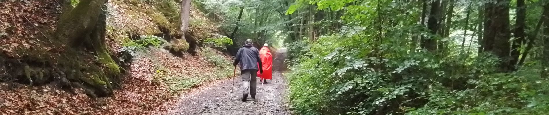
Trail Walking of 3.2 km to be discovered at Grand Est, Marne, Sainte-Menehould. This trail is proposed by VANDERPUTTENMi.
Photos

Positioning
Country:
France
Region :
Grand Est
Department/Province :
Marne
Municipality :
Sainte-Menehould
Location:
Unknown
Start:(Dec)
Start:(UTM)
641882 ; 5440067 (31U) N.
Comments